El Yunque National Forest Map: Main Stops And Route Guide
El Yunque's main stops are clustered along one road, but the forest has four entrances and some of the most advertised attractions are not where many visitors expect them to be.
Short answer
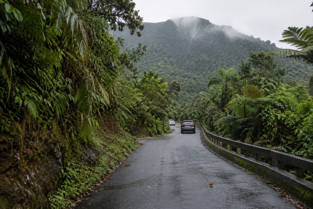
El Yunque National Forest's main visitor corridor is PR-191 North in Río Grande, running from El Portal at kilometer 4.1 past La Coca Falls, Yokahú Tower, Juan Diego Falls and Baño Grande. Entry is free, no reservation is required, and parking is limited to designated areas. Guided tours solve the parking and permit problem.
El Yunque National Forest is 28,516 acres of federally managed land in the Luquillo Mountains, and it is the only tropical rainforest within the national forest system. That sounds like a lot of ground, but the main stops visitors actually reach are concentrated along one road: PR-191 North in Río Grande. Reading a map before you book a tour is the fastest way to see whether a listing covers the roadside stops you have seen in photos, or a river spot that sits outside the forest boundary entirely. El Yunque National Forest Tours keeps this route guide aligned with the official Forest Service pages.
Where Exactly Is El Yunque On The Map?
El Yunque National Forest sits in the Luquillo Mountains of northeastern Puerto Rico and stretches across eight municipalities, including Río Grande, Luquillo, Naguabo and Fajardo. At 28,516 acres, it is small enough that the main visitor area is a single corridor, but the forest boundary and the tour stops are not the same thing.
The forest is managed by the USDA Forest Service, not the National Park Service, and its eight-municipality footprint ranges across the island's northeast. The most useful way to read a map is to separate the official forest boundary from the private land around Luquillo, because several widely advertised waterslide stops are outside the forest. For first-time visitors, the important geography runs along PR-191 North, where the Forest Service has concentrated most of the accessible recreation sites, trailheads and lookouts.
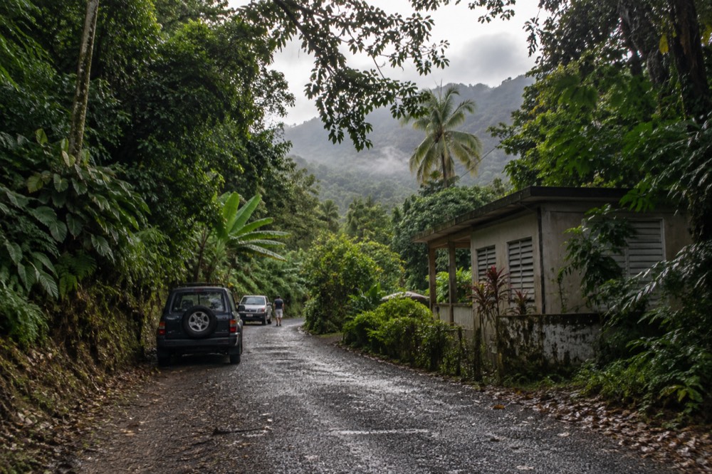
Several roads enter the forest from different towns, but they do not connect as neatly as a paper map may suggest. The Naguabo side and the Río Grande side are separate approaches, and the Forest Service publishes different condition notes for each corridor. The map becomes genuinely useful when you match the road to the stop you want, not just the destination name, because a tour listing may name a stop that sits on private land outside the forest you are planning to visit.
Which Roads Enter El Yunque And What Should The Map Tell You?
Four roads enter the forest, and the Forest Service lists each one as not requiring a reservation. The road most first-time visitors need is PR-191 North, the Río Grande recreational corridor, because that is where El Portal, La Coca Falls, Yokahú Tower, Juan Diego Falls and Baño Grande sit.
Entry to the PR-191 North recreational corridor is free, no reservation is required, and operating hours run from 8:00 a.m. to 5:00 p.m. Visitor capacity is managed because of parking limits and ongoing construction, not because of a timed-entry system. That is the single biggest distinction between this forest and the older travel advice still circulating online. The official Current Conditions page confirms the free no-reservation entry and the rule that parking is permitted only in designated areas.
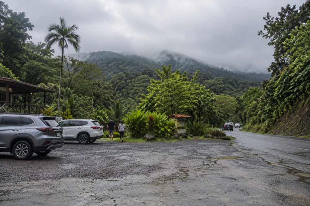
The four entrances are not equal in condition or convenience. Road 988 is the Luquillo entrance and connects to PR-191 North just above El Portal, but the Forest Service notes construction works on the road. Road 186, the El Toro Scenic Byway, carries a poor road condition warning. PR-191 South in Naguabo is not accessible from the north side because of a major landslide that occurred in the mid-1970s, and it is winding with a 20 mph speed limit.
| Entrance | Location | Official condition and note |
|---|---|---|
| PR-191 North, La Mina Recreation Area | Río Grande | Free entry, no reservation, hours 8:00 a.m. to 5:00 p.m., most recreation sites are here |
| Road 988, Luquillo entrance | Luquillo | Connects to PR-191 North above El Portal; construction works on the road, drive carefully |
| Road 186, El Toro Scenic Byway | El Toro | Home of the Río Espíritu Santo watershed; poor road conditions, drive carefully |
| PR-191 South, Naguabo | Naguabo | Not accessible from the north side; winding with a 20 mph speed limit, no reservation required |
The Forest Service also publishes a directory of authorized and permitted tour operators, and it explicitly warns that not every taxi holds a forest permit. Rideshare apps cannot pick up at the recreational corridor or El Portal, so a visitor without a car can be left walking a long distance simply to exit. This is where a guided tour earns its price. It does not buy you past a reservation queue, because no queue exists. It buys a permitted vehicle, a legal drop-off and pick-up, and a guide who knows which stops are actually open on the day. The authorized permitted tour operator directory is the official check for that.
Where Are The Main Stops Along PR-191 North?
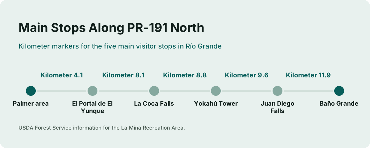
El Portal at kilometer 4.1 leads to La Coca Falls at 8.1, Yokahú Tower at 8.8, Juan Diego Falls at 9.6 and Baño Grande at 11.9. Those are the main PR-191 North stops: visitor center, roadside waterfall, tower, natural pool, and historic scenery.
The kilometer markers are the best way to read the route, because PR-191 North climbs steadily from the town side toward the upper rainforest. El Portal is the first major stop after you leave the Palmer area. La Coca Falls sits a little farther up and is the most photographed roadside waterfall in the forest, with an 85-foot drop onto rock at the base. Yokahú Tower, a 69-foot observation tower, gives a four-forest view and sits just past La Coca.
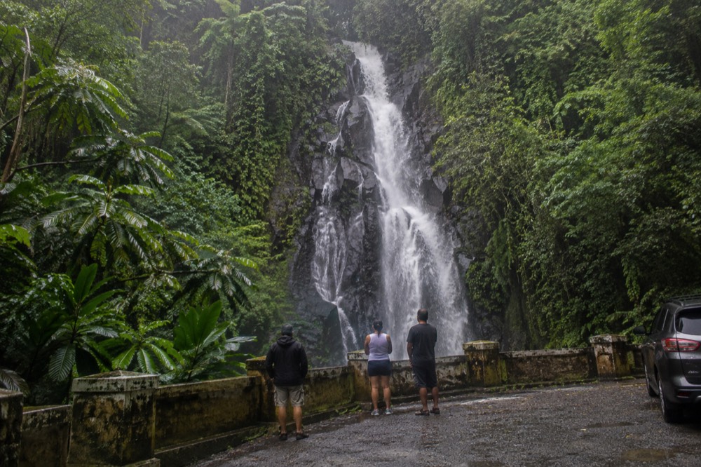
The practical differences between these stops matter more than the distances. La Coca is viewing only, with no swimming and no potable water. Yokahú has a 30-minute maximum parking limit. Juan Diego has limited parking with the same 30-minute maximum and a short path to a natural pool you can wade into. Baño Grande is a historic Civilian Conservation Corps pool, but it has been closed to swimmers since 1968 and is posted no swimming permitted.
| Stop | Location on PR-191 North | What it is | Parking and note |
|---|---|---|---|
| El Portal de El Yunque | Kilometer 4.1 | Visitor center, exhibits, parrot display, cafe | Separate $8 adult fee; open 8:00 a.m. to 4:00 p.m. |
| La Coca Falls | Kilometer 8.1 | Roadside waterfall with an 85-foot drop | Viewing only; no swimming; park in designated areas |
| Yokahú Tower | Kilometer 8.8 | 69-foot observation tower | 30-minute maximum parking |
| Juan Diego Falls | Kilometer 9.6 | Short path to a natural pool you can wade into | 30-minute maximum parking; swim listed |
| Baño Grande | Kilometer 11.9 | Historic stone pool from the late 1930s | No swimming permitted; open 8:00 a.m. to 5:00 p.m. |
Those are the stops a map should anchor, because they are the ones most prone to confusion. A tour listing may show a waterfall photo, but that photo may be a river stop on the Luquillo side, a zipline park near the forest edge, or a private-land waterslide. Matching the stop name to the correct road is the fastest route from curiosity to a booked tour that actually goes where you want to be.
Where Can You Actually Get In The Water On The Map?
Swimming in El Yunque is not allowed everywhere. The Forest Service lists specific spots where water activities are available, including Juan Diego Falls, Angelito Trail at the Río Mameyes, Puente Roto, Quebrada Grande, Quebrada Sonadora, Río Espíritu Santo Observation Point and Río Sabana. La Mina Falls, Baño Grande and Baño de Oro are not current swimming spots.
This is the part of the map where third-party content goes wrong most often. La Mina Falls and both trails that approach it, La Mina Trail and Big Tree Trail, are closed as of the most recent Forest Service trail status alert. The Forest Service FAQ still says La Mina trail and falls remain closed for construction. Baño Grande has been closed to swimmers since 1968 and is posted no swimming permitted. Baño de Oro is a former swimming hole, now a photo spot. La Coca Falls is viewing only.
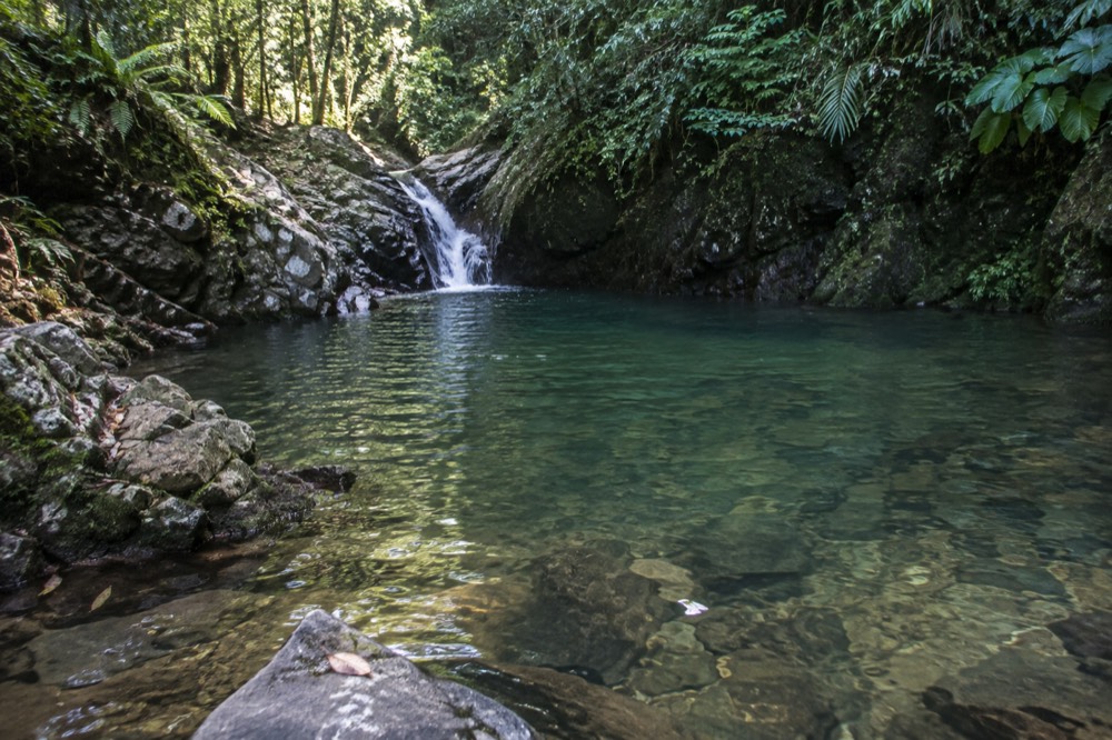
The verified swimming opportunities are spread across the forest, not all on PR-191 North. Angelito Trail is an easy 0.4 km path on Road 988 that descends to the Río Mameyes and Las Damas Pool. Puente Roto and Quebrada Grande are recreation areas on the Luquillo side. Quebrada Sonadora, Río Espíritu Santo Observation Point and Río Sabana are listed with swimming among their water activities. Each one carries the same Forest Service flash-flood warning: a sudden surge can claim victims in less than one minute.
| Water site | Road or area | Swimming status | Main limitation |
|---|---|---|---|
| Juan Diego Falls | PR-191 North, kilometer 9.6 | Wading and natural pool listed | 30-minute maximum parking |
| Angelito Trail and Río Mameyes | Road 988, Luquillo | Swimming listed | Easy 0.4 km trail; flash-flood warning applies |
| Puente Roto | Road 988 | Swimming listed | Road under construction warning |
| Quebrada Grande | Luquillo side | Swimming listed | Poor road conditions, drive carefully |
| Quebrada Sonadora | Forest recreation site | Swimming listed | Check official status before going |
| Río Espíritu Santo Observation Point | Road 186 watershed | Swimming listed | Check official status before going |
| Río Sabana Recreation Area | Naguabo side | Swimming listed | Separate southern approach |
The rule of thumb is simple: if a specific river or pool is not on this site's list of Forest Service swimming sites, do not treat it as a general permission to jump in. Several traveller reviews describe rope swings, cliff jumps and waterslides, but those are specific operator-permitted spots and several are outside the federal forest boundary. A review is a description of someone else's day, not a safety clearance for you.
Where Does El Portal Sit And What Does It Cost?
El Portal de El Yunque Rainforest Center is on PR-191 at kilometer 4.1, before the main forest corridor climbs into the upper stops. It is the only place with an admission fee: $8 for adults 16 and older, free for children under 15, and $4 with an interagency pass. Forest entry remains free, and no reservation is required to enter the corridor.
El Portal is the forest's visitor center, with exhibits, a restaurant, a store and the endangered Puerto Rican Parrot display. It reopened in January 2022 after hurricane repairs, and its official hours on the English page, the FAQ and the ticket record are 8:00 a.m. to 4:00 p.m. The El Portal visitor center page confirms the $8 adult fee and free entry for children under 15.
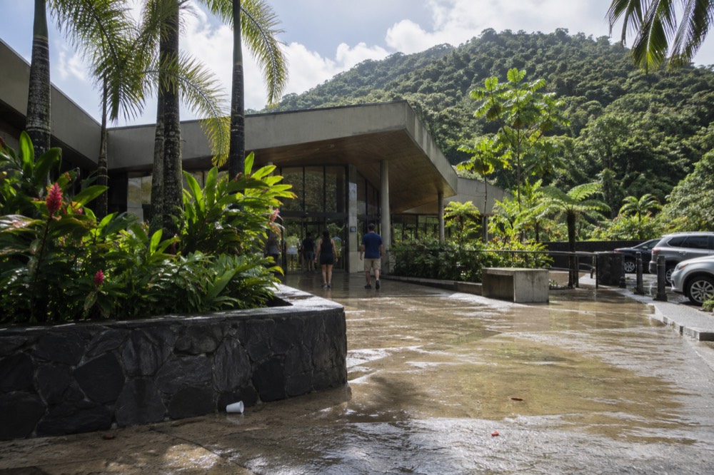
Some visitors stop at El Portal first for orientation, then continue up the road. Others skip it and head straight to the roadside stops, where there is no gate and no entry charge. The forest does have a proposed fee system for El Portal and the La Mina Recreation Area, but those are proposed only. No La Mina Recreation Area permit exists today, and the current fee remains only at El Portal.
A self-drive tour can make this sequence easier because the meeting point is usually outside the corridor or at a clear landmark, and the guide handles the parking and the permitted-vehicle part of the day. The Half-Day Waterslide and Rope Swing tour is the shortest, cheapest way to get a guide on the river side without renting a car or solving the rideshare problem.
Where Do The Waterslide Tours Go, And Where Is Las Paylas?
Several tours in the roster advertise a rainforest waterslide and rope swing, and a number of them pair that with Luquillo Beach or a river stop on the Río Mameyes. Las Paylas, the natural waterslide above Luquillo, is not inside El Yunque National Forest at all. It sits on private land outside the forest boundary, with access arranged through the landowners.
This is the honesty trap in El Yunque tour marketing. Las Paylas is a natural waterslide in Luquillo, but point-in-polygon checks against USDA Forest Service GIS data return zero features for Las Paylas while a La Coca Falls control returns El Yunque National Forest. It is not on any Forest Service recreation list, and the Forest Service does not manage it, staff it, or provide safety oversight there. A tour that sells the waterslides is selling something outside the National Forest, and that changes what you are buying.
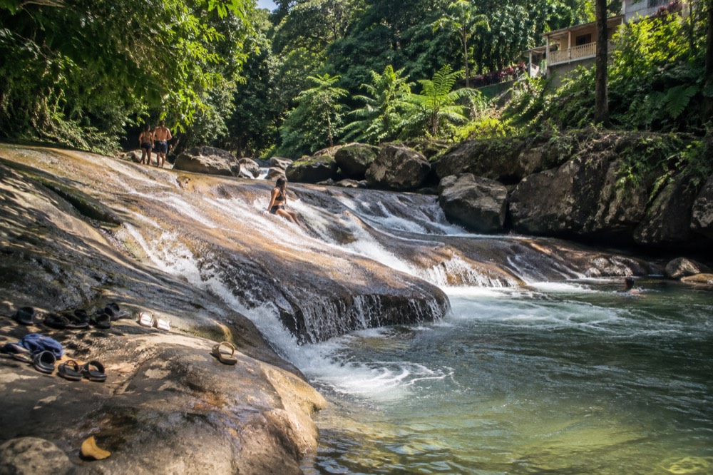
That does not make the tours bad. It just means the map label is wrong if someone calls Las Paylas an El Yunque stop. The tours that run the river and rope swing route on the Luquillo side can still be a good day, especially for visitors who want a guide to handle access and keep the group on schedule. The Luquillo waterslides tour guide goes deeper into that choice, but the short version is: read the listing's confirmed stops and notice whether Luquillo Beach or Las Paylas appears next to the forest claim.
How Do The Main Stops Compare For A Half-Day Or Full-Day Route?
A half-day tour focuses on a shorter sequence, usually a waterfall or waterslide stop plus some forest road scenery, while a full-day tour can add Luquillo Beach, Old San Juan, a zipline course or a bio bay. The trade-off is not distance, it is what kind of stop you want after the forest.
The map helps here because the main corridors also define what is realistic. A self-drive meet-guide tour that runs half a day generally stays on the Luquillo side or the lower PR-191 North stops, because parking and traffic eat time. A full-day combo may pair El Yunque with a zipline course, Luquillo Beach, the kiosks, or a bio bay in Fajardo. These are not the same route; they are different days built around the same forest core.
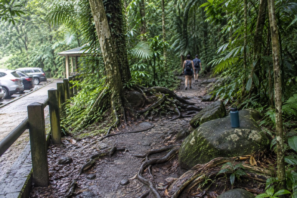
The table below compares three common formats and the map stops they tend to cover on the roster. The exact sequence changes by operator, so the live listing is the final word, but the broad shape holds.
| Tour format | Typical map focus | Example tour from this page | Duration and price |
|---|---|---|---|
| Self-drive, meet the guide | River and waterslide stops on the Luquillo side | Half-Day Waterslide and Rope Swing | 4 hours, from $25 |
| Same family, compact pickup | Waterfall, waterslides and rope swing | Rainforest Waterslides, Waterfalls and Rope Swing | 4 hours, from $25 |
| Adventure park combo | Zipline plus forest hike, stays near the edge | Forest Hike and Zipline Combo Tour | 9 hours 30 minutes, from $225 |
The zipline combo is the most different route because it does not chase the same river stops. It keeps the day near the adventure park edge and spends the extra hours on a longer hike and a zipline course, not on a beach or a bio bay. The forest road scenery is still part of the day, but the map circle is larger and the price reflects that.
How Do You Check Which Roads And Stops Are Open Today?
El Yunque's trail and site statuses change with construction and storm damage, so the map alone is not enough. Before you drive or book, open the Forest Service alerts index for the live road and trail status, and check the Current Conditions page for corridor hours and parking rules.
Closures are a permanent risk here, and this site refuses to print a fixed list of open and shut trails because the Forest Service reverses statuses with construction and repair work. La Mina Trail, La Mina Falls and Big Tree Trail have been closed for a long time, but the official alert page is the live authority for whether anything has changed. The same applies to El Portal's September maintenance closure, the Baño de Oro Trail dispute between the alerts index and the newer site page, and any PR-191 repaving note.
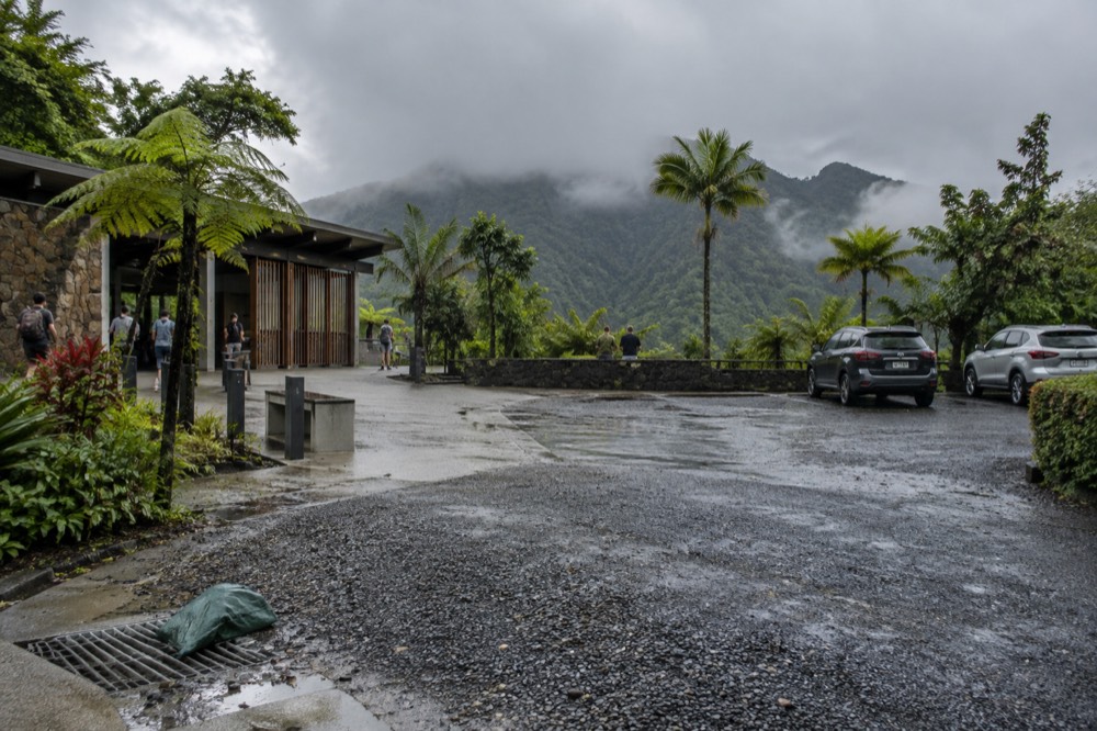
The only safe habit is to check the Forest Service alerts index before you leave, then compare it with the road you plan to drive. The reservation and entry guide covers the no-reservation system in more detail, and the driving route into the forest explains the approach from the north coast.
Once the statuses look clear, the quickest way to turn a map plan into a day is to book the format that matches the stops you want to see. The self-drive tours keep you on the river side, the adventure park combos stretch the day longer, and the beach tours use Luquillo as the cooldown after the forest.
Common Questions About El Yunque Map And Main Stops
Do you need a reservation to enter El Yunque?
No, entrance to the PR-191 North recreational corridor is free and no reservations are required. Operating hours are 8:00 a.m. to 5:00 p.m. Visitor capacity is managed because of parking limits and ongoing construction, not by a timed-entry system. All four corridor entrances are listed as not requiring a reservation.
Where is Las Paylas in relation to El Yunque?
Las Paylas is a natural waterslide above Luquillo on private land, outside the El Yunque National Forest boundary. The Forest Service does not manage it, staff it, or list it as a recreation site. Access is arranged with the landowners on the spot, and no official fee or hours are published.
Can you swim at La Mina Falls?
No. La Mina Trail and Big Tree Trail, the two routes to La Mina Falls, are listed as closed in the Forest Service trail status alert, and the Forest Service says the trail and falls remain closed for construction. Do not treat a tour listing that advertises swimming there as confirmation of current access.
Where does El Portal sit on the map?
El Portal de El Yunque Rainforest Center is at kilometer 4.1 on PR-191 North, before the main roadside stops. It is the only fee site in the forest, with an $8 adult admission fee, free entry for children under 15, and $4 with an interagency pass. Forest entry itself is free.
What is the best road for first-time visitors?
PR-191 North in Río Grande is the main recreational corridor and the best road for first-time visitors. It passes El Portal, La Coca Falls, Yokahú Tower, Juan Diego Falls and Baño Grande. Road 988 is the Luquillo entrance, Road 186 is the El Toro Scenic Byway, and PR-191 South is the separate Naguabo approach.